For most of human history, the subsurface world was a place of mystery—explored only through digging, drilling, or intuition. Fast forward to today, and we have the ability to map underground structures with stunning precision. But how did we get here?
The journey of geophysical equipment is one of innovation, necessity, and curiosity. It’s a story that stretches from ancient water diviners to 21st-century software-driven diagnostics—and it has reshaped everything from construction and environmental protection to archaeology and public safety.
The Early Days: Intuition Over Instruments
Long before the term “geophysics” even existed, humans sought ways to interpret the land. One of the earliest examples is the use of dowsing rods—simple sticks or metal rods believed to detect water or minerals underground. While largely dismissed by modern science, this method speaks to our long-standing desire to understand what lies below.
The 20th Century Boom: War, Industry, and Science
It wasn’t until the early 1900s that geophysical tools started taking shape as we know them. Driven by the need for oil and mineral exploration—and later by military applications during the World Wars—technologies like seismic reflection, electrical resistivity, and magnetic surveying began to develop.
Post-war, these tools became increasingly available for civilian use. Companies began using seismic waves to analyze soil stability for roads and bridges. Hydrologists mapped aquifers, and archaeologists discovered buried cities—all without lifting a shovel.
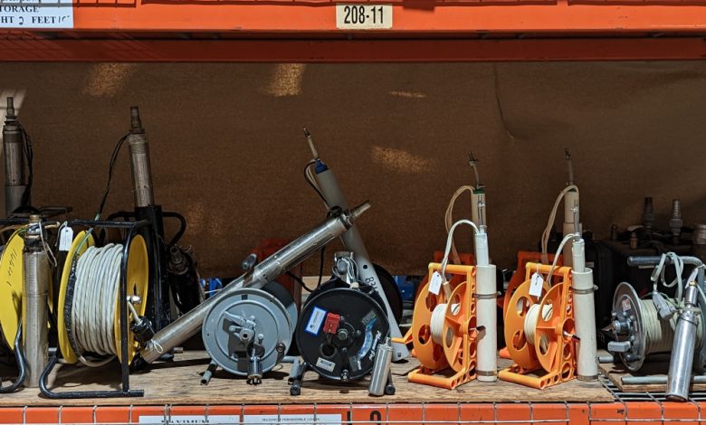
The Modern Shift: Portability, Precision, and Integration
Today’s geophysical equipment is unrecognizable compared to its early ancestors:
- Compact & Portable: Tools like EM sensors, geophones, and GPS-integrated antennas can be carried in a backpack.
- Digital Accuracy: Real-time data collection and modeling software improve the precision and clarity of results.
- Cross-Disciplinary Use: Once exclusive to geology, these tools are now essential in civil engineering, environmental science, disaster response, and more.
One of the most significant transformations has been the democratization of access. Smaller engineering firms, municipalities, and even university researchers can now afford high-performance tools that once required massive budgets.
Unexpected Industries That Rely on Geophysical Tools
While oil and mining companies are the traditional users, you might be surprised to know who else uses modern geophysical instruments:
- Insurance companies assessing sinkhole risks in residential areas.
- Environmental consultants investigating sites for contamination or brownfield redevelopment.
- Law enforcement agencies conducting forensic surveys in criminal investigations.
- Historic preservationists mapping old cemeteries or foundation ruins.
In short, it’s not just about finding treasure underground—it’s about making informed, sustainable, and safe decisions in a range of industries.
Looking Ahead: The Future of Subsurface Intelligence
As artificial intelligence and drone integration continue to advance, geophysical work will become even faster and more automated. In the near future, entire subsurface scans might be conducted autonomously, analyzed on cloud platforms, and visualized in augmented reality—all within minutes.
Yet the mission remains the same: to reduce the unknown.
And it all begins with the right set of tools—the kind of geophysical equipment that has evolved from rods and wires into the intelligent instruments of today.